Have you ever been confused with all the database options for pipeline GIS management? What is the difference between them all? If I operate regulated and unregulated pipelines, can I store my distribution and transmission functions in the same schematic and network? Although the industry has been using GIS for hydrocarbon transportation pipeline management for […]

If you haven’t yet taken the leap into geographic information systems (GIS Services), you may be wondering why you need it or what you would do with it. Whether the maps are to locate and manage your company’s information, whether it’s infrastructure you need to monitor or identify the location of an asset on a […]
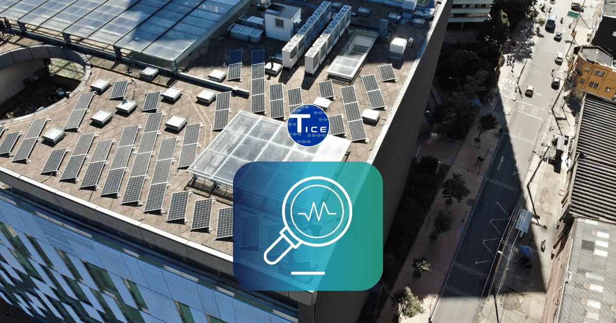
Site monitoring systems are an integral component of construction projects that have complex geotechnical challenges, risk to the public, or infrastructure