GIS Solutions

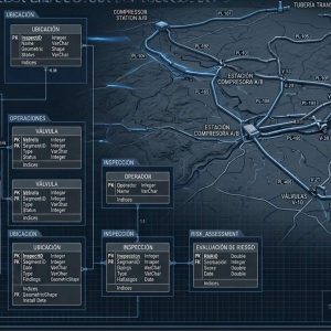
Advanced georeferencing, data governance, and custom software development to integrate geospatial information with operational, maintenance, and risk management workflows.
ESRI/ArcGIS Geospatial Architecture

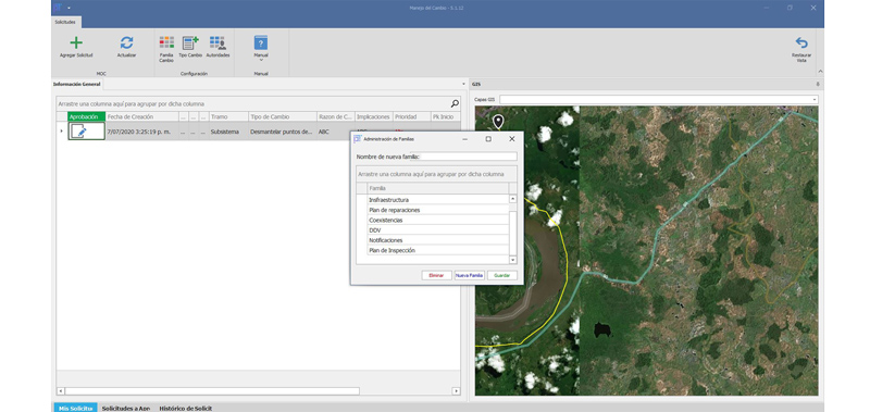
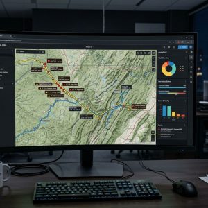
Modeling and deployment of geodatabases for managing transmission lines, power plants, and distribution networks with sub-meter accuracy and ArcGIS Enterprise compatibility.

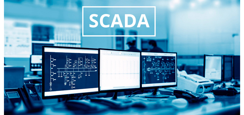
Integration of SAP, GIS, and SCADA Systems”

Interoperable integration of geospatial data with ERP maintenance modules and real-time telemetry readings to accelerate decision-making.

Data Governance and Standardization

Definition of quality policies, topology, metadata, and data models such as PODS and APDM to ensure the traceability and sustainability of geographic information.

Custom Software Development and Integration

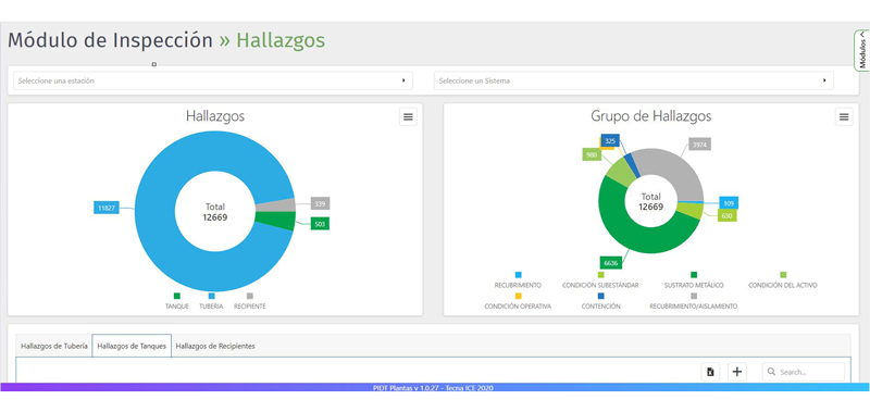
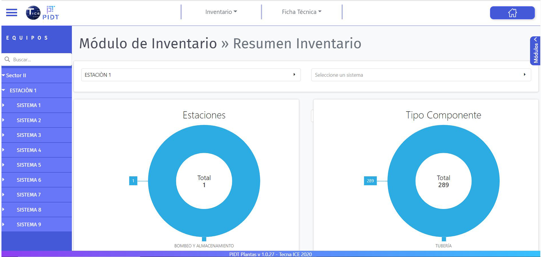
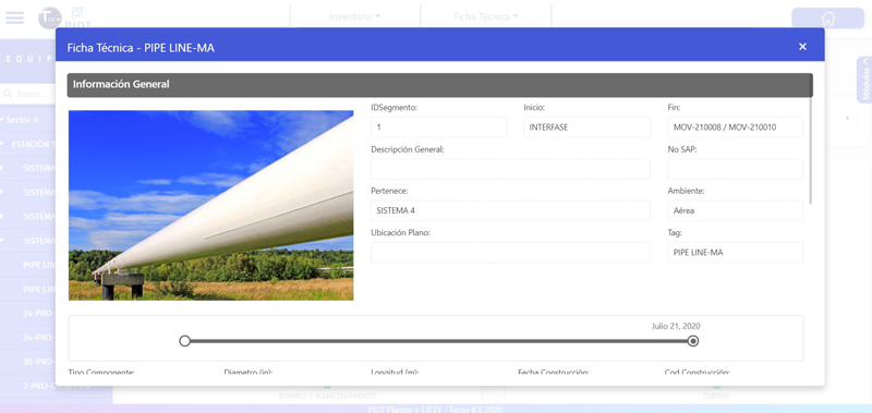
Custom web and mobile platforms for capturing NDT field inspections and real-time synchronized integrity monitoring.

Specialized Services in GIS Solutions and Software Engineering

TECNA ICE’s GIS solutions transform scattered tabular data and field inspections into centralized geospatial intelligence.

Certified Experience

More than 25 years of technical experience in Oil & Gas and energy across 6 Latin American countries.

Certificaciones empresa TECNA ICE
Experiencia en Evaluación y Mitigación de interferencias eléctricas en ductos | Tecnaice.
Years of experience in this service
+ 1
Projects executed
+ 1
Km of CIPS inspections
+ 1
Incident-free assessments
+ 1 mill h/m

At TECNA ICE, we combine expertise in asset physics (corrosion, materials mechanics, NDT) with geographic information technologies.

Frequently Asked Questions

It allows you to link SAP work orders and maintenance history to the asset’s exact geographic location in the GIS. This optimizes logistics for field teams, improves prioritization based on spatial context (such as risk zones or intersections), and prevents duplication in infrastructure management.

It depends on the company’s needs. Models such as PODS (Pipeline Open Data Standard) or APDM (ArcGIS Pipeline Data Model) are industry standards. They structure information on pipelines, welds, linings, cathodic protection, and inspection events (PIGs) with a high degree of topological and spatial rigor.

We develop mobile apps with an offline-first architecture. Inspectors download maps and forms to their devices; during their fieldwork, they capture inspection data along with GPS coordinates, and when they return to an area with cellular connectivity or a Wi-Fi network, the app automatically synchronizes the changes with the central geodatabase.

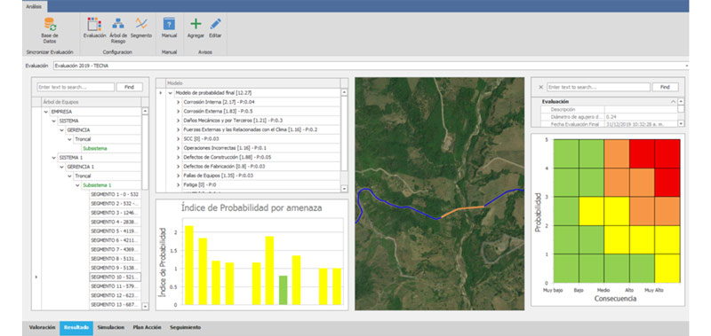
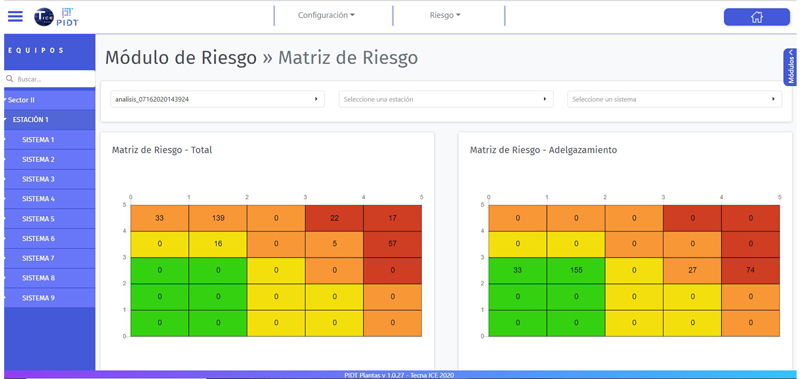
A conventional GIS focuses on basic mapping and the representation of features. A comprehensive GIS incorporates spatial data models specific to corrosion, pipe-to-soil potential measurements, internal inspection (ILI) alignment, and risk algorithms (RBI/HCA) that directly inform engineering decisions.

It is implemented using real-time data connectors (REST services, OPC connectors, or ETL engines). Operational variables such as pressure, temperature, or flow—read by the SCADA sensors—are dynamically mapped to pipeline segments in the GIS, triggering visual alerts when operational limits are exceeded.

It involves defining rules, workflows, and standards to ensure the quality of geographic information. This includes the standardization of metadata, automatic topological validations, the assignment of editing roles, and periodic audits that prevent the degradation of the spatial database.

Our solutions are tailored to your organization’s IT strategy. They can be deployed on-premises on your own corporate servers, in private cloud environments (AWS, Azure), or in hybrid configurations, depending on your information security policies.

It requires regular monitoring of mapping services, optimization of spatial indexes in the database, updating ESRI software versions, applying security patches, and managing storage as the volume of inspections and high-resolution images grows.

// Ready to combine your integrity data with the power of geospatial analytics.

Get personalized guidance.

Technical expertise in geospatial technologies combined with extensive experience in asset engineering.

Support and Sustainability

Knowledge transfer, comprehensive technical documentation, and ongoing support services to ensure the solution's adoption and evolution.

Business Interoperability

Proven experience in integrating GIS platforms with SAP environments, SCADA systems, relational databases, and field applications.

A Practical Approach to Integrity

We design data models that address the actual needs of corrosion and maintenance engineers, not just mapping requirements.

Proficiency in ESRI / ArcGIS Technology

Implementations carried out by ArcGIS-certified professionals, ensuring robust, scalable architectures that align with industry best practices.


    This form uses Akismet to reduce spam. Learn how your data is processed.

    1