Description
Leadership in Digitalization: TECNA ICE integrates LIDAR technology through expert subcontracting, transforming geospatial data into intelligent engineering models for asset management.
Service Description
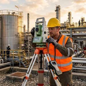
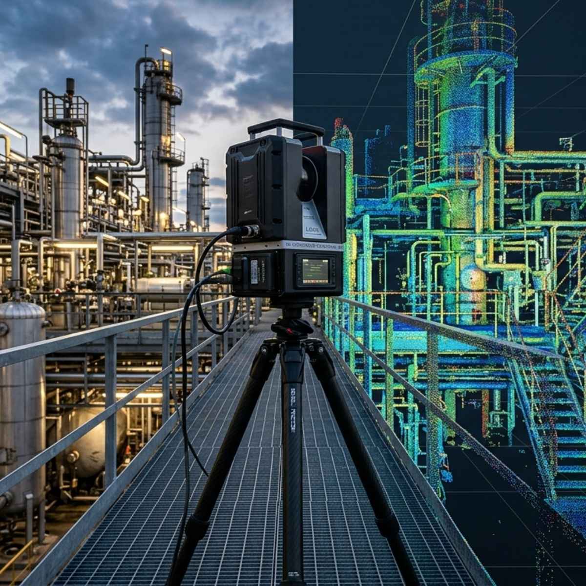
LIDAR surveying represents the cutting edge of technology in field data collection. Using laser sensors that emit thousands of pulses per second, we are able to digitally reconstruct any industrial or civil environment without physical contact. This technology is indispensable for reverse engineering projects, interference analysis in complex plants, and the monitoring of slopes or right-of-ways where vegetation prevents the use of conventional photogrammetry. At TECNA ICE, we don’t just deliver data; we deliver spatial intelligence for your assets.
Technical Scope
- Ground-based and airborne (UAV) LIDAR scanning.
- Generation of dense, classified point clouds.
- “As-Built” 3D Modeling of Piping and Structures.
- Analysis of Tank Verticality and Deformation.
Operational Benefits
- Drastic reduction in field setup times.
- Elimination of errors caused by manual measurements.
- Full compatibility with BIM and CAD workflows.
- Ability to penetrate foliage for accurate ground surveying.
Methodology and Traceability
Our process includes planning missions with ground control points (GCPs) to ensure absolute accuracy. After the scan is performed by our partners, TECNA ICE’s engineering team cleans, registers, and georeferences the point cloud. The final result is a digital twin that serves as a baseline for integrity studies, enabling the detection of structural changes as small as a few millimeters over time, with guaranteed traceability for high-level technical audits.
Industries Where We Apply This Service
Plants
Asset inventory and pipeline routing.
Oil & Gas
Erosion monitoring along right-of-ways.
Vial
Infrastructure and Tunnel Design.
Mining
Volume calculations and slope control.
Would you like to digitize your assets with millimeter-level precision?
Contact us to integrate LIDAR technology into your engineering projects.