
Description
Geospatial Governance and Continuity: Enterprise GIS databases and applications cannot afford downtime. At TECNA ICE, we manage your geophysical infrastructure to mitigate the risks of data loss and asset misalignment.
Enterprise-Level GIS Application Support and Development
TECNA ICE’s GIS Support, Maintenance, and Migration Service is a specialized solution designed for large data infrastructures in the oil & gas, utilities, mining, and linear transportation sectors. The complexity of managing multiple applications, distributed corporate geodatabases, and GIS servers (on-premises or in the cloud) requires a team of engineers with a deep understanding of both computer science and geomatics as applied to asset integrity. Our portfolio ranges from preventive and corrective code maintenance to critical migration projects involving version upgrades and the transition of legacy databases to modern web and hybrid cloud environments, ensuring the referential and spatial integrity of institutional data at every stage.
Technical Scope of Our GIS Solutions
Our experience enables us to manage and develop multiple highly complex geographic information ecosystems and applications through defined technical areas:
1. Maintenance and Support for Specialized Geodatabases
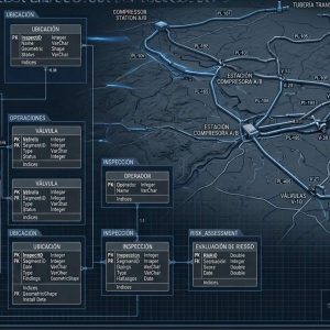
Management of relational databases with spatial components (Oracle Spatial, PostgreSQL/PostGIS, SQL Server). We perform spatial indexing, optimize complex queries, implement load balancing, and ensure data schemas comply with international standards such as OGC.
2. Structured Migration of Infrastructure and Applications
Turnkey projects for migrating GIS platforms (from on-premises environments to clouds such as AWS, Azure, or Google Cloud). We handle the transition of complex data models, ensuring zero loss of historical records and minimal service disruption.
3. Ongoing Support for GIS Web and Mobile Applications
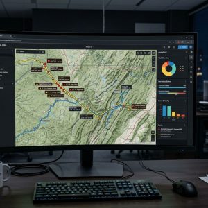
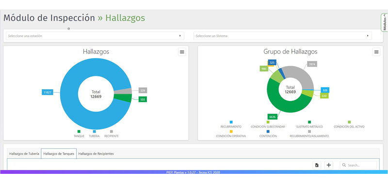
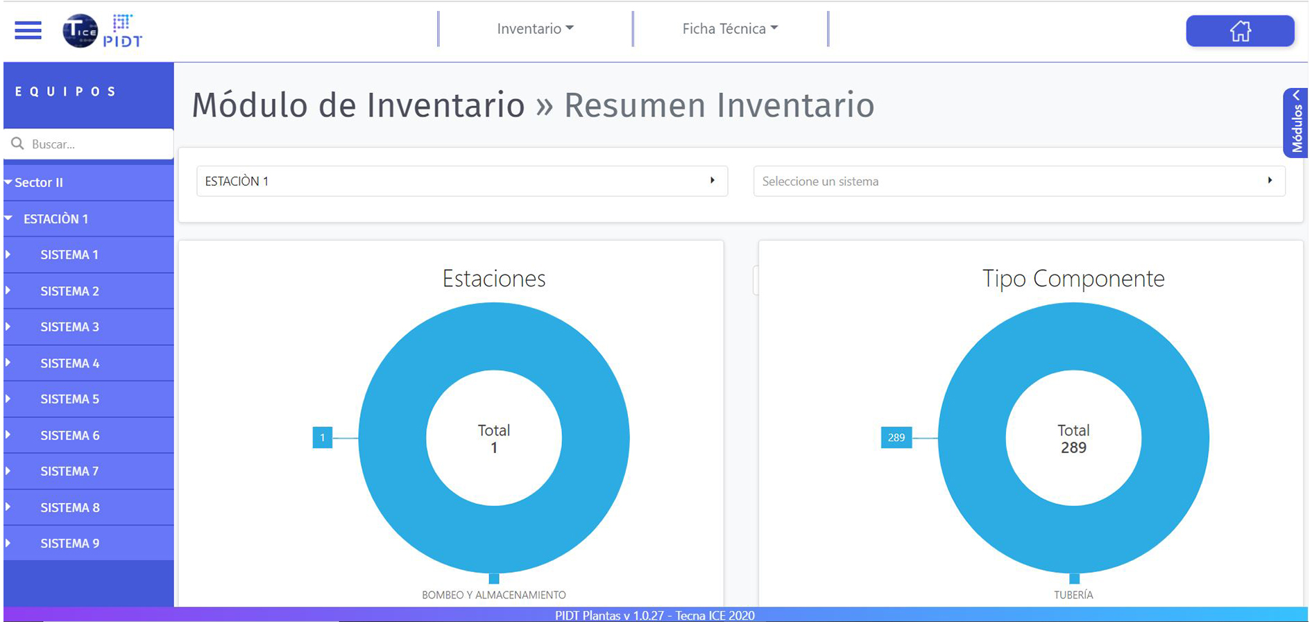
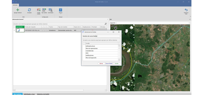
Updates, refactoring, and bug fixes for enterprise geographic viewers and mobile tools for field data collection. We ensure seamless integration via APIs and Web Services with existing ERP, PIMS, and asset management systems.
4. Proven Experience in Large-Scale Geomatics Projects
Our technical support is backed by an outstanding track record of providing specialized services and support to the geomatics departments at Ecopetrol and CENIT. We manage large volumes of geographic data in accordance with rigorous information security standards.
Technology Solutions
TECNA ICE approaches the support and maintenance of GIS platforms from the perspective of mitigating corporate operational risks. We understand that critical decisions regarding safety—such as immediately addressing a geotechnical threat or locating a pipeline failure—depend entirely on Geographic Information Systems operating accurately and without delays. By entrusting us with the support of your spatial infrastructure, your organization gains a partner with proven experience working with the largest companies in the energy sector, ensuring a service aligned with ITIL methodologies, maximum cybersecurity for your data, and continuous technological advancement that drives your business’s efficiency.
Benefits of GIS Support with TECNA ICE
Total Continuity
Proactive monitoring to ensure that your GIS viewers and databases never go down.
Safe Migration
Seamless transition to Web GIS and cloud architectures without disrupting field operations.
High Performance
Optimizing geodatabases to speed up map loading and large-scale spatial queries.
Expert Support
Assigned support engineers with direct experience in HSEQ projects and large-scale projects.
Do you want to ensure optimal performance and availability of your Geographic Information Systems?
Contact us to develop a comprehensive support, maintenance, or migration plan for your corporate GIS platforms.