
Description
Data Architecture for Advanced Engineering: A poorly indexed database or one disconnected from its spatial component doubles costs and hides corrosion or operational risks. We build robust geodatabases that guarantee absolute referential and territorial integrity.
Modeling and Deployment of Enterprise Geodatabases
TECNA ICE’s Relational and Geographic Database Design and Implementation service addresses the critical need of industrial companies to have a centralized repository of reliable, secure, and high-performance information. We specialize in the logical conceptualization, physical modeling, and optimization of traditional relational databases and enterprise-level spatial databases (geodatabases). By applying advanced techniques in spatial indexing, dynamic segmentation, and linear reference systems (LRS), we structure technical information so that every inspection data point, asset design characteristic, or maintenance event is unambiguously linked to its geographic coordinates and reference station (PK).
Proven Experience and Industry Standards
Our technical division has led projects involving high conceptual complexity, demonstrating our ability to model enterprise data under the strict requirements of the Oil & Gas sector:
1. Implementation of the UPDM Model for TGI
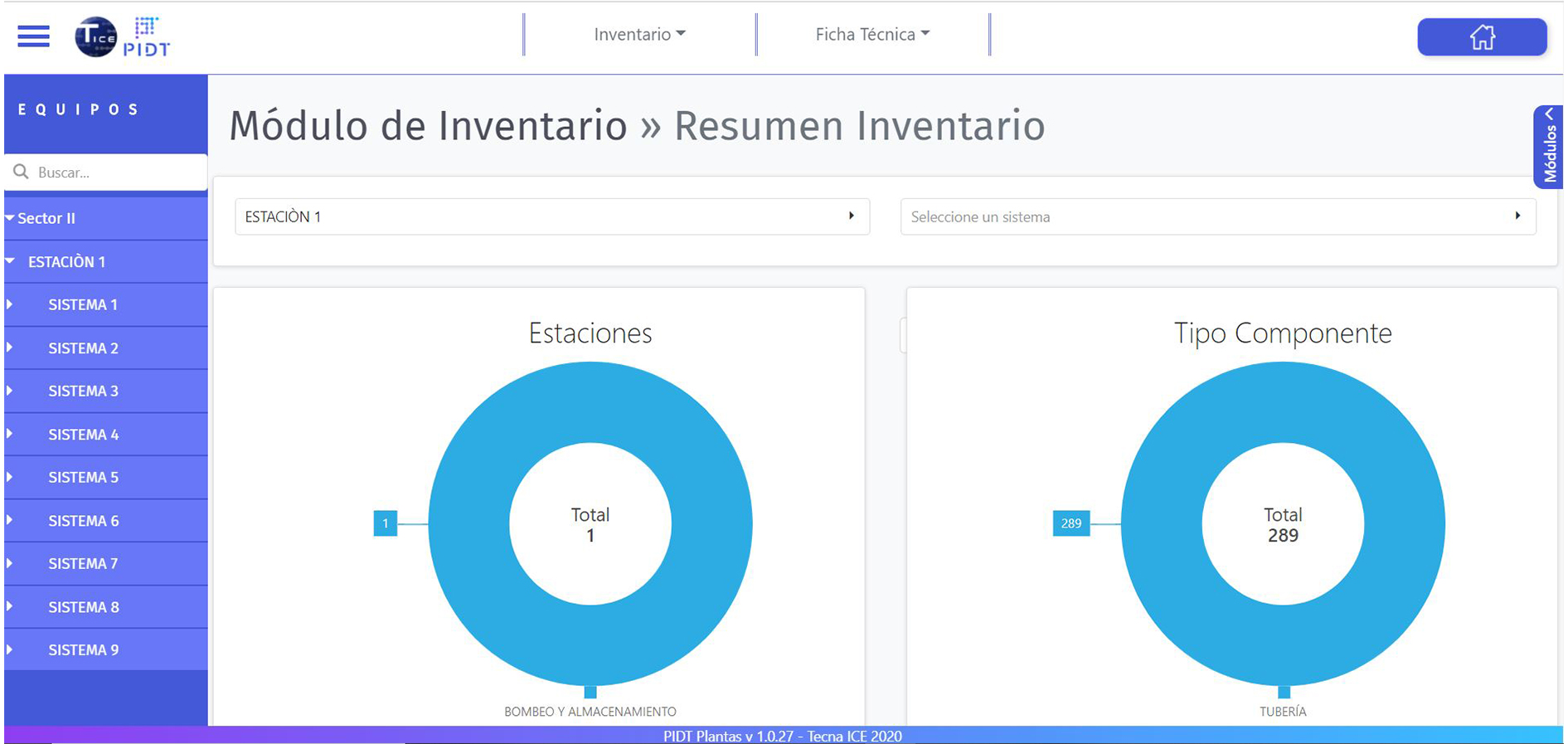
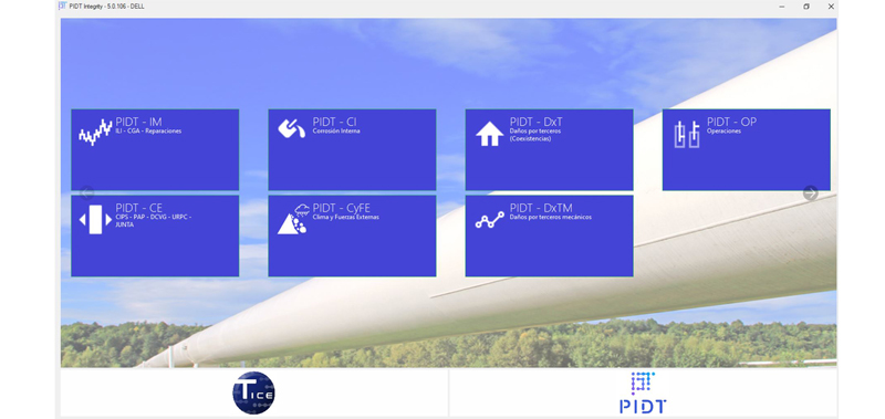
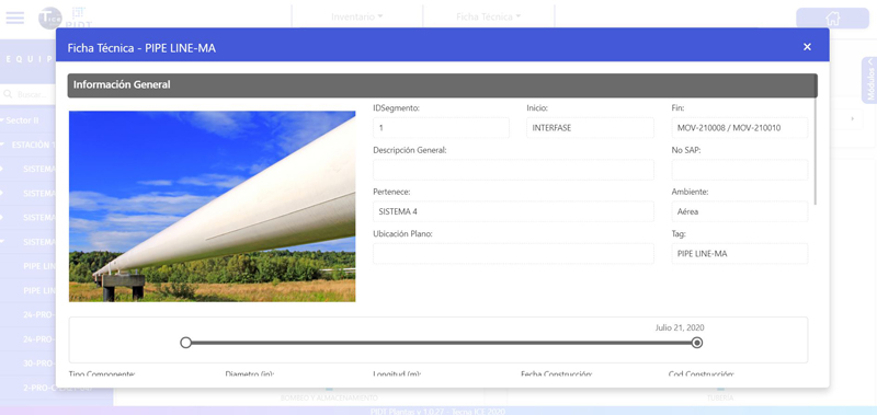
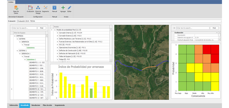
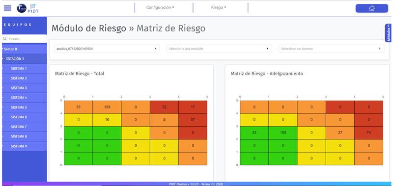
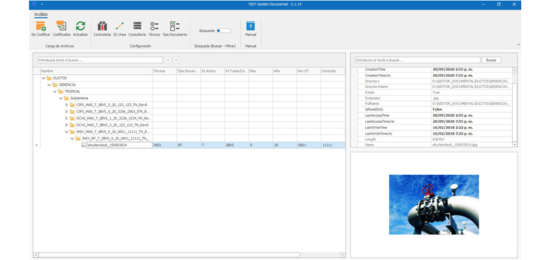
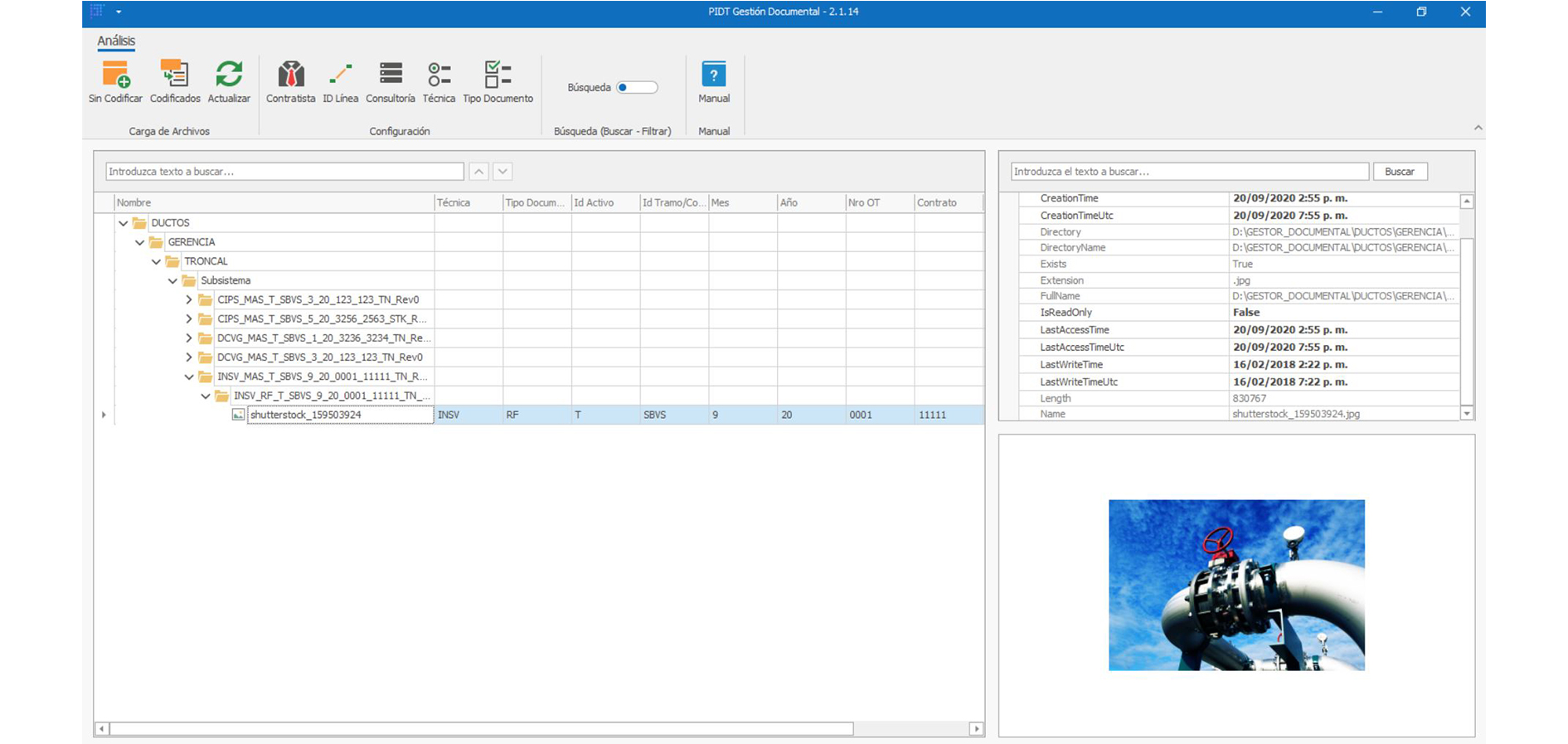
We have strengthened our technical leadership through the design of the PIDT Ductos system for TGI (Transportadora de Gas Internacional), which is structured entirely according to the rigorous UPDM (Utility Pipeline Data Model) data model. This milestone enables the seamless integration of distribution networks and bulk transmission lines within a unified and highly optimized geodatabase.
2. Relational Architectures and Enterprise Engines
Design, standardization, and implementation of robust relational databases on leading platforms such as Oracle (Spatial), Microsoft SQL Server, and enterprise-grade open-source solutions such as PostgreSQL (PostGIS), ensuring high availability, replication schemes, and automated backups.
3. Migration and Integration of Complex Models
Structured ETL (Extract, Transform, Load) processes to consolidate CAD drawings, scattered spreadsheets, and legacy data into standardized models (such as PODS or UPDM). We eliminate redundancy and correct topological and logical inconsistencies.
4. Integrity Checks and Validation Rules
Development of triggers, constraints, and geographic network rules that prevent the entry of erroneous data into the system. We ensure that the physical connectivity of the components (valves, pipes, plants) corresponds with mathematical precision to the actual operating conditions in the field.
Technology Solutions
TECNA ICE approaches database design not as a simple IT task, but as the core of the organization’s risk management and asset integrity strategy. We emphasize: “A conceptual error in geodatabase design fragments a pipeline’s traceability, preventing risk algorithms from accurately calculating vulnerable areas.” By leveraging advanced data engineering methodologies and regional best-practice implementations—such as the PIDT Ductos UPDM developed for TGI—we provide companies with an unalterable, audit-ready technological foundation that is fully compatible with ArcGIS Pipeline Referencing and designed to quickly feed data into senior management’s analytical dashboards.
Technical Advantages of Our Geodatabases
International Standard
Native modeling in UPDM, ensuring full compatibility with global GIS and Integrity software.
LRS Traceability
Exact correlation of corrosion analysis data and thickness measurements using Linear Reference Systems.
Enterprise Performance
Optimization of large-scale spatial queries and indexing for instant results in web viewers.
Data Governance
Internal logical rules that ensure data is clean and ready for government audits.
Would you like to build a robust, standardized geographic data architecture?
Please contact us to schedule a technical presentation on our portfolio of industrial geodatabase modeling and design services.